
Interactive Site Planning & Cost Estimation for Construction Professionals
SitePlotter (PlotASite) is a highly productive web and iPad application designed for contractors, estimators, and remote planners who require an efficient way to depict, plan, and price construction or landscaping tasks. The platform merges field data and estimation in a revolutionary digital environment.
From product configuration to real-time GPS tracking, SitePlotter enables users to map materials directly onto live site plans, transforming the traditional process from initial enquiry to complete client job pack delivery.
Ranger Data Systems Limited
Coordinating site requirements across office and mobile operations was a time-consuming and expensive process with many moving parts, requiring multiple software tools and excessive time to progress from enquiry to job completion.
An integrated web and iPad application that streamlines the entire site planning lifecycle with touchscreen drawing capabilities, automatic scaling, and instant professional documentation generation.
Excessive time required to progress from initial enquiry to complete client job pack using multiple disconnected tools
Built integrated workflow that streamlines the entire process from preparation to final delivery in one platform
Complex manual processes for creating site drawings, risk assessments, and comprehensive job documentation
Implemented automated job pack generation with professional site drawings created instantly
Difficulty creating accurate, to-scale site plans that align with real-world coordinates and requirements
Developed GPS integration with automatic scaling and precise location plotting capabilities
Limited ability for field workers, office staff, and clients to collaborate effectively on site planning
Created cloud-based collaboration tools enabling real-time engagement across all stakeholders
Easily add and arrange products, materials, and features within a wholly digital environment using touchscreen tablets
Built-in GPS tools for precise location plotting and alignment of plans with real-world coordinates
Instant cost projections based on plotted materials, eliminating guesswork and manual calculations
Plan onsite using iPad app and sync with web dashboard for team-wide visibility and collaboration
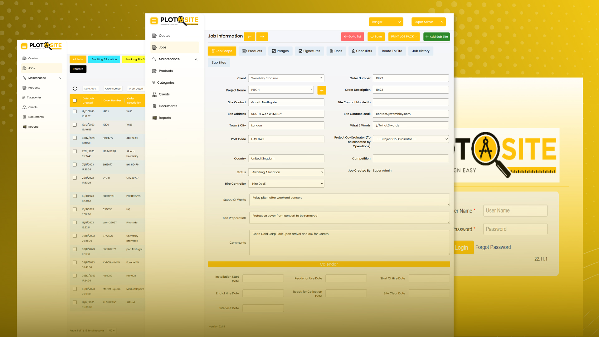
Generate comprehensive job packs including site drawings, risk assessments, scope of works, and signatures
Create perfect site drawings and issue complete job packs to clients and colleagues in seconds
Measurable improvements in service delivery
Workflow Process
Job Pack Generation
GPS Location Plotting
Data Synchronization
Let's build something extraordinary together. Your next breakthrough is just a conversation away.